Mortgage Articles
Expert guides on Florida home loans, programs, and homebuyer resources.
Florida Housing Income & Purchase Price Limits 2026
Check 2026 Florida Housing income limits, purchase price caps, FHA loan limits, and conventional/VA loan limits by county for FL Assist, FL HLP, Bond, TBA, and PLUS programs.

Broward County First-Time Homebuyer Program: $80,000+ in Assistance for Florida Buyers
Broward County offers $80,000+ in assistance for first-time Florida homebuyers. See eligibility, income limits, and how to apply.
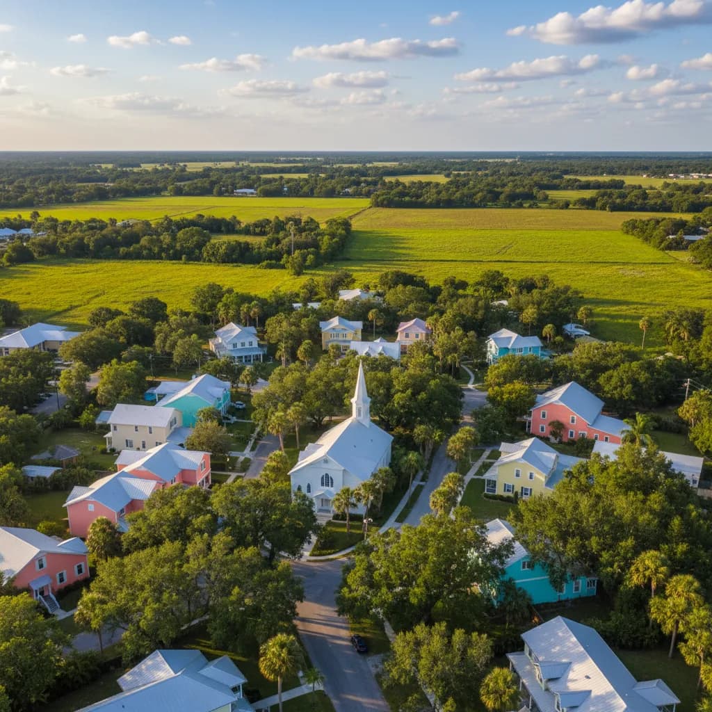
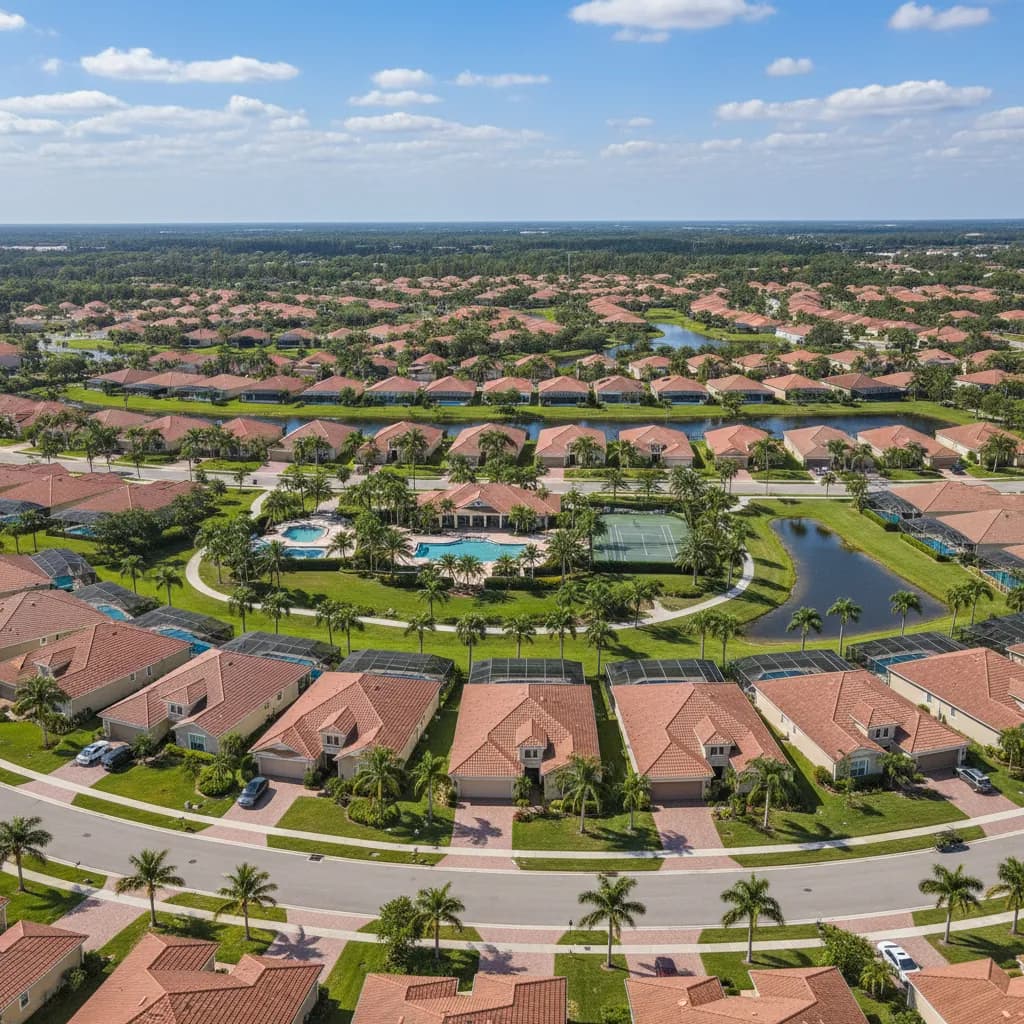
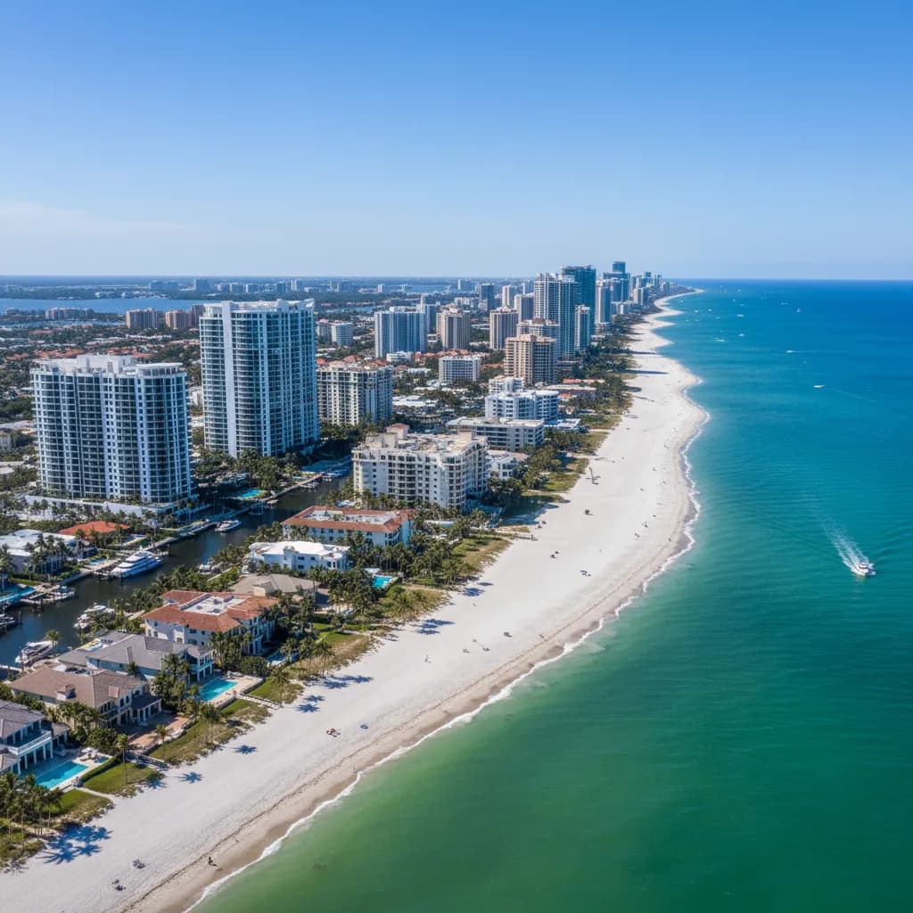
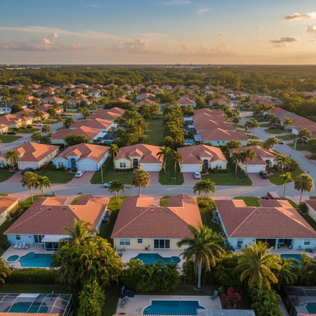
Cheapest Places to Buy a House in Florida (2026 Data)
Discover the cheapest places to buy a home in Florida in 2026. See counties under $100K, coastal areas, and ways to lower costs with assistance.

Conventional Mortgages in Florida: A Complete Guide for Homebuyers
Learn how conventional mortgages work in Florida, including credit requirements, down payment options, PMI rules, loan limits, and how they compare to FHA loans.

FHA Rule Blocks DACA Homebuyers in Florida — 10 Better Mortgage Options (2026)
FHA rules now restrict DACA borrowers. Learn how Florida homebuyers can still qualify with 10 alternative mortgage options and assistance programs.
FHA 203(k) Loan in Florida: Buy & Renovate With One Mortgage (2026 Guide)
Learn how FHA 203(k) loans in Florida let you buy and renovate a home with one mortgage. See requirements, costs, and step-by-step details.

FHA Loan Eligibility Requirements in Florida (2026 Guide)
Learn the 2026 FHA loan eligibility requirements in Florida, including minimum credit scores, down payment rules, DTI limits, income guidelines, and inspection standards.
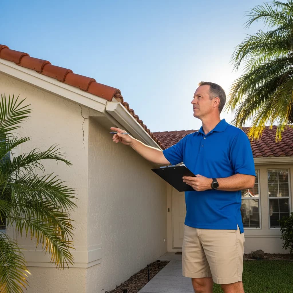
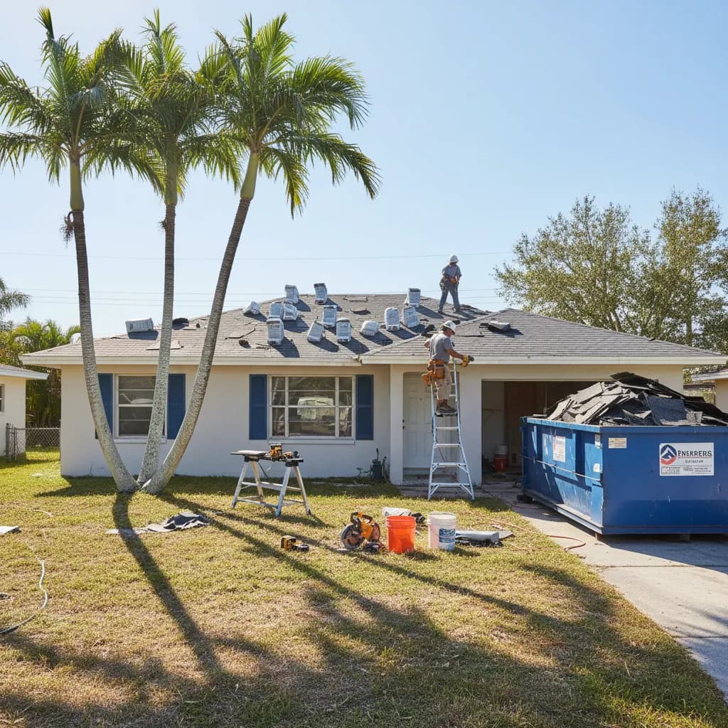
Florida FHA Minimum Property Standards: Inspection Checklist & Requirements
See Florida FHA minimum property standards and inspection rules. A complete checklist of FHA property requirements for homebuyers.

FHA Rent-to-Own in Florida (2026): How It Works, Benefits, Risks & Requirements
Learn how the FHA rent-to-own option works in Florida in 2026. See requirements, examples, benefits, risks, and how renters can transition to homeownership using FHA guidelines.
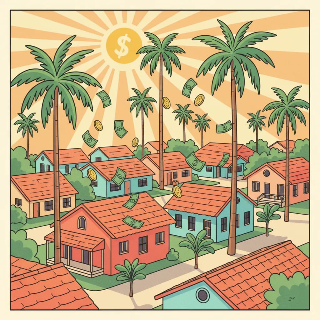
105 Florida First-Time Home Buyer Grants & Programs | 2026
Explore 105 first-time homebuyer grants & programs in Florida for 2026. See if you qualify for down payment assistance, tax credits & low-interest loans!

Florida Assist (FL Assist) Second Mortgage Program: $10,000 DPA Guide
Learn how the Florida Assist program provides up to $10,000 in down payment and closing cost assistance as a 0% interest deferred second mortgage for eligible Florida homebuyers.
2026 Conforming Loan Limits for Every County in Florida
View the 2026 conforming loan limits for every Florida county, including standard and high-balance limits, and see how loan limits affect homebuyers.

Florida Family Opportunity Mortgage: Buy for Family Without Investor Rates
Learn how the Family Opportunity Mortgage works in Florida in 2026. Buy a home for parents, disabled children, or college students with low down payments.
Florida FHA Loan Limits (2026): County-by-County Guide
See the new 2026 FHA loan limits in Florida. Updated county-by-county to help buyers know how much they can borrow.

Florida First Responder Home Buying Grants & Programs (2026 Guide)
Explore the best Florida homebuyer grants and programs for first responders in 2026. Learn about Hometown Heroes, GNND, VA loans, and how to maximize up to $35,000+ in assistance.

Florida Good Neighbor Next Door Program: Buy a HUD Home for 50% Off in 2026
Florida teachers, police officers, firefighters, and EMTs can buy HUD homes for 50% off in 2026 through the Good Neighbor Next Door program. Learn eligibility, homes, FHA $100 down financing, and how to apply.

Florida Home Loans for Single Moms: Assistance Programs & Grants (2026)
Explore Florida home loans, grants, and down payment assistance programs for single moms in 2026. Learn how to buy a home with little or no money down as a single parent.

What Florida Homebuyers Should Know About Tribal Housing Programs
Learn how tribal housing programs work in Florida, including eligibility, benefits, buyer protections, and important considerations for homebuyers.

Florida Hometown Heroes Approved Lenders (2026): Find a Participating Company
Looking for Florida Hometown Heroes approved lenders in 2026? Learn how to verify participating mortgage companies, avoid common pitfalls, and secure up to $35,000 in assistance.

Florida Hometown Heroes Income Limits (2026): County Eligibility Guide
See Florida Hometown Heroes income limits for 2026, including county-by-county eligibility and who qualifies for the first-time homebuyer program.

Florida Hometown Heroes Job Eligibility (2026) | Full Approved Occupation List
See which Florida jobs qualify for the Hometown Heroes program. Use this updated eligibility checklist to confirm your occupation before applying.
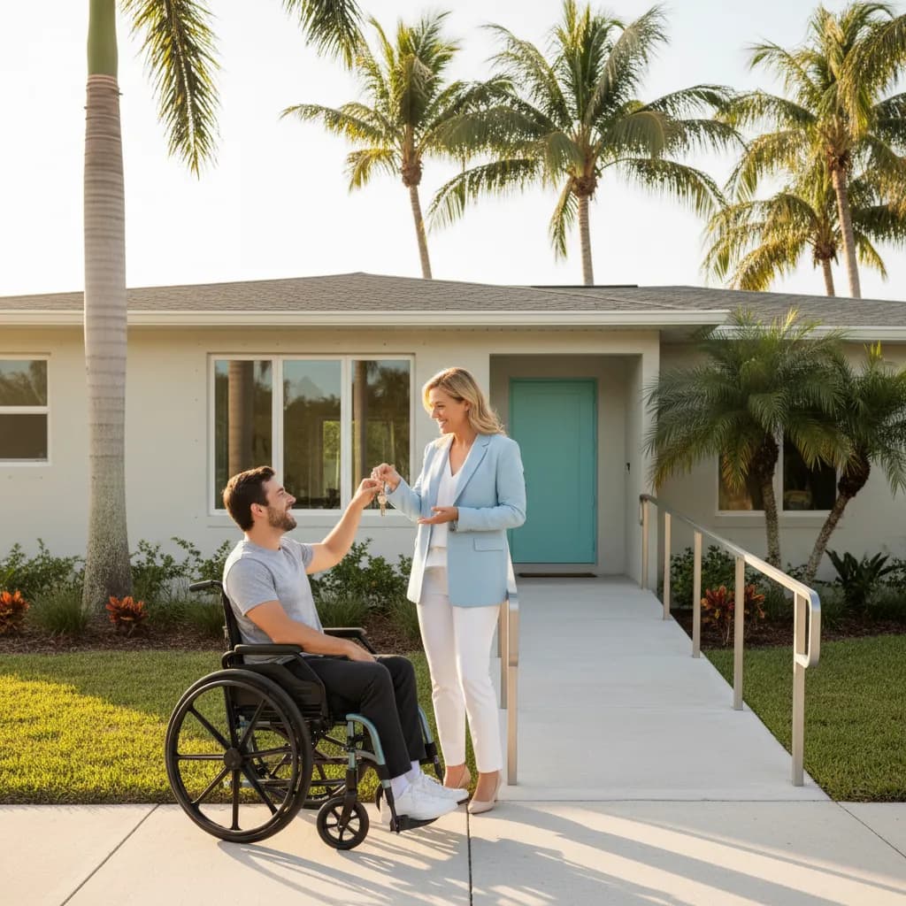
11 Florida Housing Grants & Programs for People With Disabilities (2026)
Explore 11 Florida housing grants and programs for people with disabilities in 2026. Learn about FHA, VA, USDA loans, down payment assistance, and how to qualify using disability income.
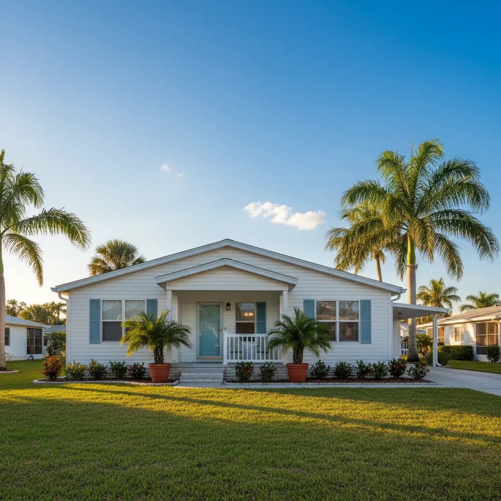
Florida Manufactured Home Loan Program: Complete Guide (2026)
Explore Florida manufactured home loan programs, eligibility rules, rates, and down payment options. Learn how to finance a manufactured home in Florida.

11 Florida Mortgage & Assistance Programs for Self-Employed & 1099 Buyers (2026)
Explore Florida mortgage and assistance programs for self-employed and 1099 buyers, including low-down-payment options, alternative income loans, and qualification tips.

Florida Nurse Next Door Program: Up to $15,000 in Homebuyer Assistance (2026)
Learn how the Florida Nurse Next Door Program helps nurses and healthcare workers access up to $15,000 in grants, down payment assistance, and closing cost help in 2026.

Florida Property Tax Exemptions for Seniors: How to Qualify & Save
Learn which Florida property tax exemptions seniors qualify for, income limits, age requirements, and how to apply to reduce property taxes on your home.
17 Florida Rent-to-Own Programs (2026): Buy With Little or No Down Payment
Compare 17 Florida rent-to-own programs for 2026 — Divvy, Landis, NACA, HUD, and more. Plus, see if down payment assistance or an FHA loan could help you buy sooner.

10 Best Florida Senior Homebuyer Grants & Programs (2026 Guide)
Explore the 10 best grants and programs for senior homebuyers in Florida for 2026. Learn about HECM, Hometown Heroes, FL Assist, VA loans, and more for buyers 55+.

Florida VA Disability Property Tax Exemptions: Complete Guide (2026)
Learn how disabled veterans in Florida can save thousands on property taxes. See eligibility, exemption amounts, application steps, and VA mortgage benefits.

Foreign Buyer's Guide to Buying Florida Real Estate | Rules & Financing
Learn how foreign buyers can purchase Florida real estate, including financing options, tax rules, visa considerations, and key requirements for international homebuyers.

How a HELOC Works in Florida (2026): Rates, Limits, Requirements & Examples
Learn how a HELOC works in Florida in 2026, including borrowing limits, interest rates, requirements, and real examples to see how much equity you can access.

Orange County Down Payment Assistance Program: Up to $70,000 for Florida Homebuyers
Orange County offers up to $70,000 in down payment assistance for eligible Florida homebuyers. Learn income limits, eligibility, and how to apply.

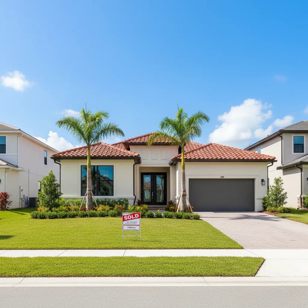
What Are the Requirements to Buy a House in Florida? 7 Rules for First-Time Buyers
Learn the key requirements to buy a house in Florida, including credit, income, down payment, and loan options. These 7 rules help first-time buyers understand what it takes to qualify.

Reverse Mortgage Closing Costs in Florida | Fees & What to Expect
Learn what closing costs apply to reverse mortgages in Florida, including lender fees, mortgage insurance, and how costs are typically paid.

Donald Trump's First-Time Homebuyer Program (2026): What's Proposed
What we know so far about Donald Trump's proposed first-time homebuyer program for 2026, including potential benefits, eligibility, and key unknowns.

USDA Loans in Florida (2026): Eligibility, Income Limits & Rural Map Explained
Learn how USDA loans work in Florida in 2026, including eligibility rules, income limits, rural map coverage, and zero-down benefits.